2LT Local News
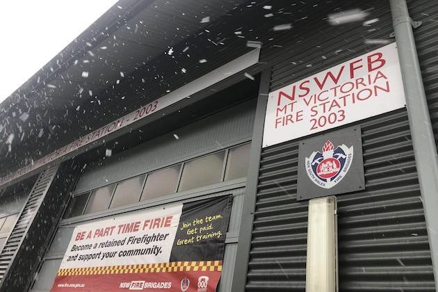
Central Tablelands and Blue Mountains preparing for snow on Monday
Jun 1, 2019
BATHURST, Central West, NSW, Australia – At this stage, according to the Bureau of Meteorology, current weather modelling suggests snow on the Central Tablelands and Blue Mountains down to 700 metres between 10am and 4pm on Monday.
People are being warned to take this into consideration in planning any outdoor activity, particularly in the Blue Mountains National Park.
If it does snow there is the possibility of black ice forming on the roads from Monday evening into Tuesday morning.
You cannot see black ice. Black ice generally forms at night time, in the early mornings or on sections of the roads that haven’t been exposed to sunlight, like under tree cover.
The following steps should be taken to minimise the risk.
– Check for black ice warnings by visiting www.livetraffic.com or downloading the Live traffic app
– Delay your trip if you can to avoid icy conditions. If you have to drive, allow plenty of time and drive carefully.
– If possible, use a car equipped with Electronic Stability Control (ESC).
– Braking takes longer in icy conditions so always allow for plenty of room between you and the car in front.
– Slow down and be patient.
What do I do if you hit black ice?
– If you hit black ice, you will have little or no control over your vehicle.
– Until you clear the patch of ice, use the accelerator, brakes and steering as little as possible.
– Avoid accelerating, braking hard or turning the steering wheel quickly. If you try to struggle against the ice by braking hard or steering in the opposite direction, you increase the risk of spinning out.
Weather forecasts can change. Listen or be on the look-out for further updates.


